Choose language
language English arrow_drop_down


- PandoPad® Call2Action
- PandoPad® Desktop
- PandoPad® Local Way Finder
- PandoPad® Outdoor Way Finder
- PandoPad® AdsHub
- PandoPad® Shop Window
- PandoPad® eCard/eCoupon
- PandoPad® eCard Selfie
- PandoPad® Augmented
- PandoPad® Gallery
- PandoPad® Pages
- PandoPad® Customer FeedBack
- PandoPad® Loyalty
- PandoPad® Quiz
- PandoPad® Geolocator
- PandoPad® Memory
- PandoPad® Puzzle
- PandoPad® Coloring Book
- PandoPad® Pilot
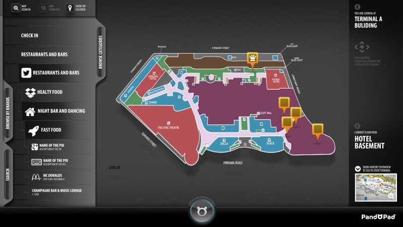
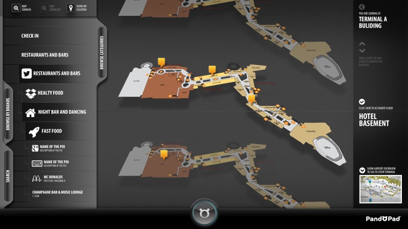
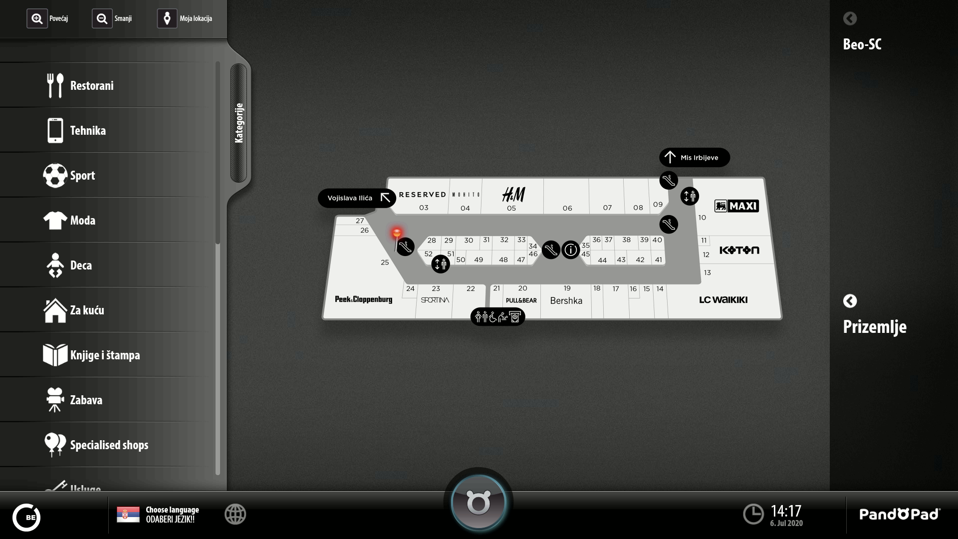
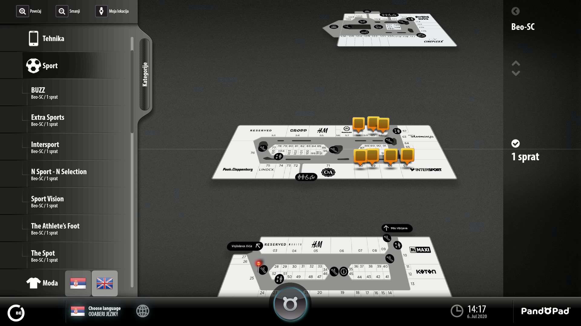
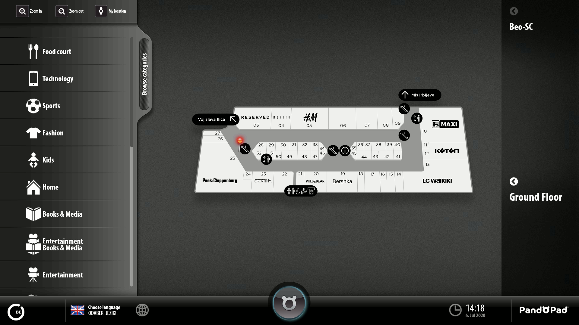
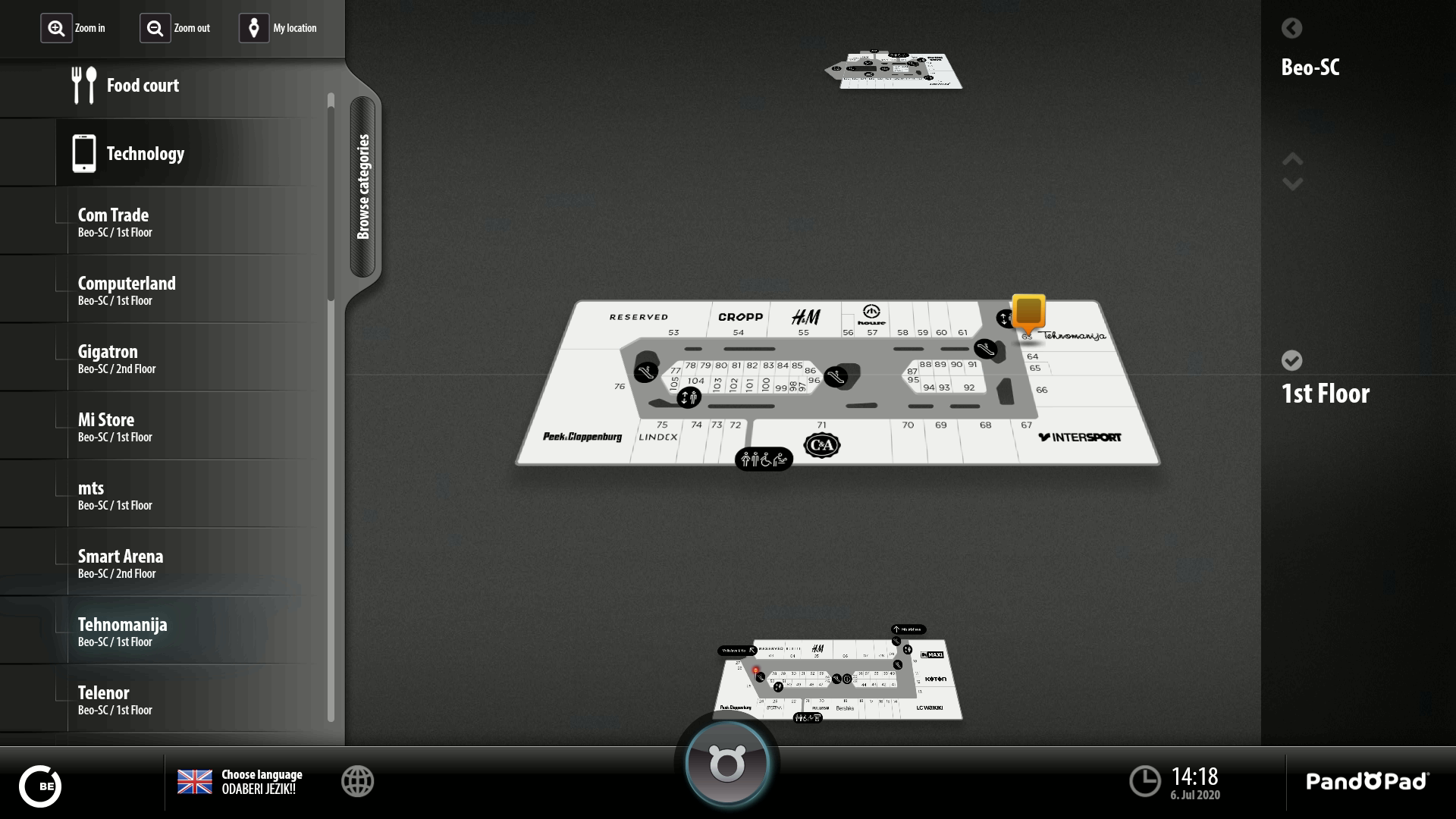
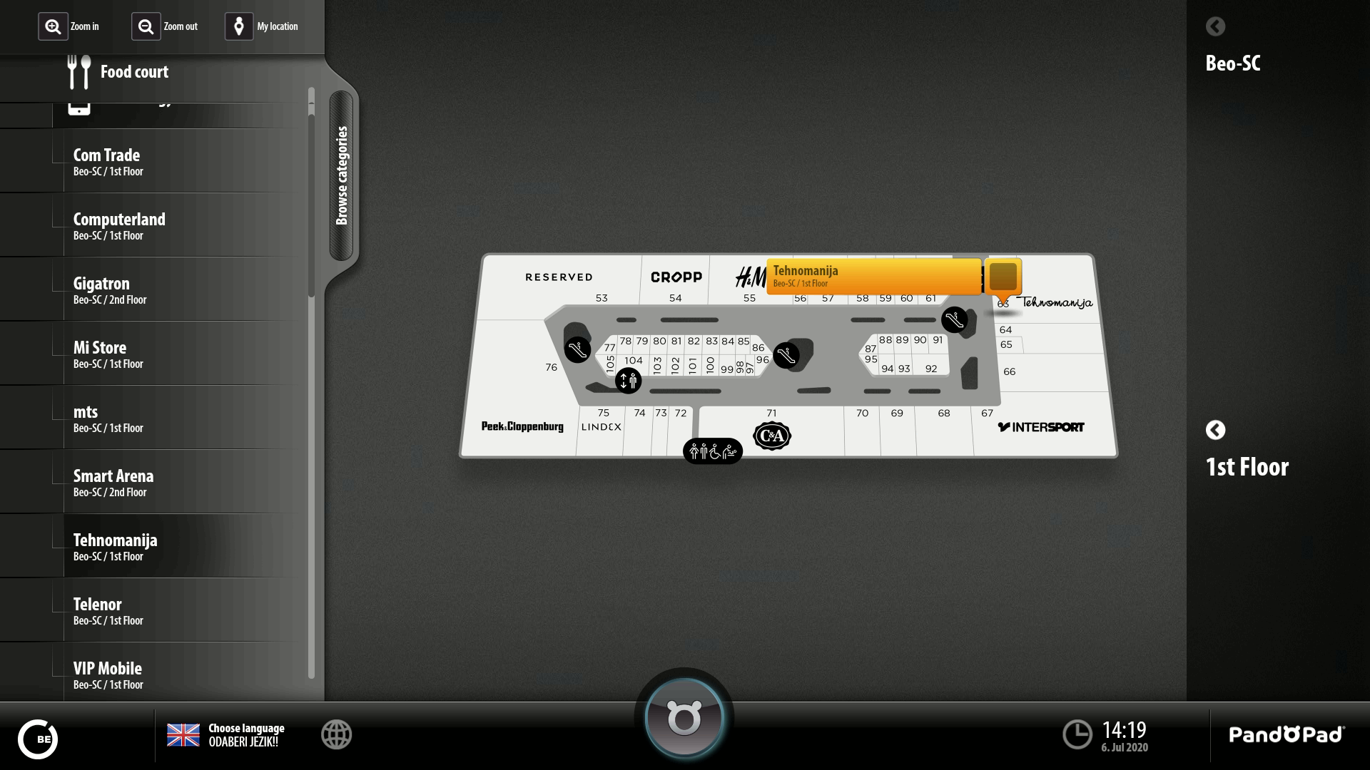
PandoPad® Local Way Finder
PandoPad® Local Way Finder shows building floor plans or maps of the immediate surrounds. In addition, this application enables exceptional advertising possibilities.
Through PandoPad® Manager locations on floor plans and maps can be marked as “points of interest” (POIs), which, when touched, display detailed information about the location as well as its location with respect to PandoPad’s location. Objects on floor plans or maps can be categorised with respect to their attributes. They can be described by use of text, photo-gallery, QR codes etc.